Out in the Field
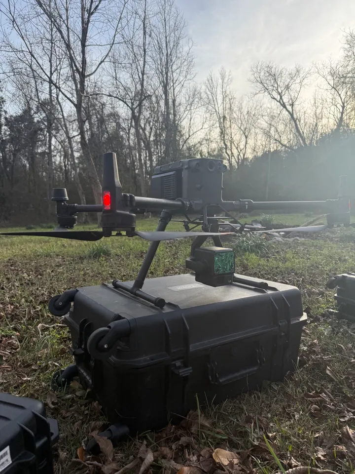
The actual rig, not a stock photo. Wheels up, then wheels down with your data.
Know your ground before you break it.
Accurate topo, cut/fill and volumes from the air. Dirt doesn't lie, but it does hide things, and we find them before your excavator does.
From raw dirt to finished grade, here's what we fly for.
Cut/fill quantities and dirt balance before you burn diesel.
Monthly surveys compared to the previous flight and to the design model.
See the true lay of the land before buying or committing.
Jobsite documentation and real estate imagery.
Pre-construction topo, cut/fill and dirt balance, then monthly progress flights checked against the design model. We've flown for several local site contractors who'd rather bid on numbers than on a hunch.
Aerial photos and video that show a property's acreage, access and surroundings in a way ground shots can't.
A feasibility study shows the true lay of the land, drainage, grade and all, before you buy or commit to a site plan.
Straightforward rates. No mystery line items.
$1,500
up to 75 acres
$15/acre over 75 acres
$500
standalone shoot
Only $75 added to a LiDAR survey
$125/hour
billed as used
3D design, earthwork take-offs and quantity calculations
Typical turnaround is 1–2 business days from flight to files in your inbox.
We fly a DJI Matrice 350 RTK carrying a DJI Zenmuse L2 LiDAR sensor. LiDAR sees through gaps in tree canopy to the ground underneath, which photos alone can't do.
Every job is tied down with ground control points so the numbers in your take-off match the dirt on your site.
FAA Part 107 certified, fully insured, and 2 years of flying behind every survey.
The actual rig, not a stock photo. Wheels up, then wheels down with your data.
Based in Atmore, AL, we cover the western Florida Panhandle from Crestview west, plus Baldwin County, AL.
Pensacola, Cantonment
Milton, Pace, Navarre, Gulf Breeze
Crestview, Fort Walton Beach, Destin, Niceville
Bay Minette, Foley, Fairhope, Daphne, Gulf Shores, Robertsdale, Spanish Fort
Atmore, Brewton
No. Our LiDAR surveys measure the shape of the ground for planning, earthwork and volumes. They don't establish property lines, and they aren't a substitute for a licensed land surveyor. If you need boundaries, plats or a legal survey, hire a licensed surveyor for that part.
Typically 1–2 business days after the flight. Weather has the final say on when we can fly.
PDF contours, CAD files, .las/.laz point clouds and surface models. Tell us what your software wants and we'll match it.
$1,500 covers the first 75 acres, then $15 for each acre over that. A 100-acre site runs $1,875.
Yes. We hold an FAA Part 107 Remote Pilot certificate and carry insurance on every job.
Tell us about the site and we'll get back to you with a quote.
LiDAR and aerial deliverables are for planning, earthwork, volume and visual reference only. They are not a boundary or legal survey and are not a substitute for the services of a licensed land surveyor.